| dc.contributor.illustrator | Walton, James, 1911-1999 | |
| dc.coverage.spatial | India | |
| dc.date.accessioned | 2012-10-10T13:22:03Z | |
| dc.date.available | 2012-10-10T13:22:03Z | |
| dc.identifier.other | B247.A.1.K.3_6c | |
| dc.identifier.uri | http://hdl.handle.net/10019.2/637 | |
| dc.description | B247.A.1.K.3_6c.jpg derived from archival TIFF file. Digital copies were created from a selection of drawings in the original James Walton manuscript collection (MS 247) held in the Manuscripts Section of the Stellenbosch Library and Information Service Collection. | en_ZA |
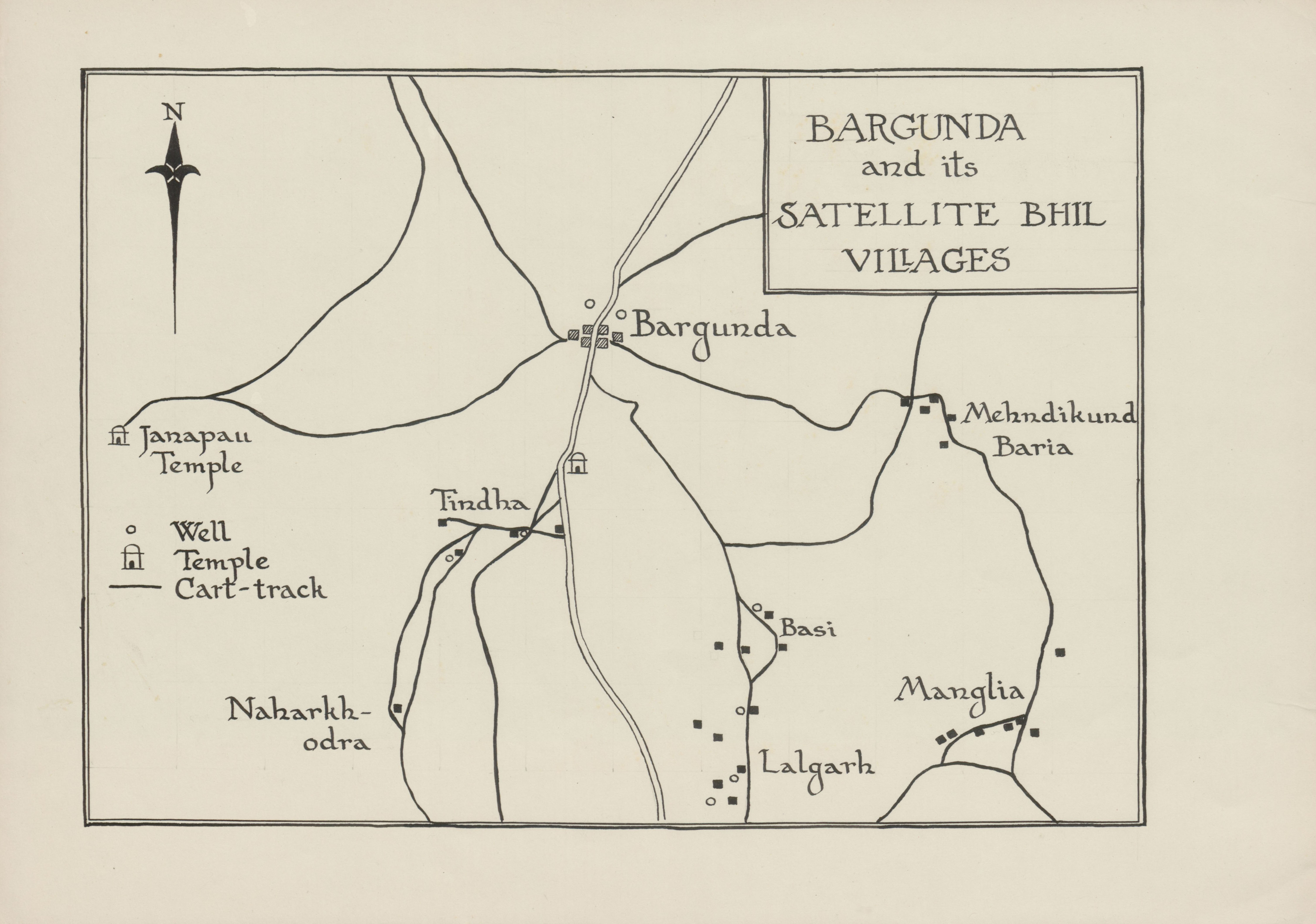
| dc.description.abstract | Drawing of a map of Bargunda and its satellite Bhil villages, depicting detail of Bargunda, the Janapau Temple, the Well Temple, a cart-track, Naharkhodra, Tindha, Basi, Lalgarh, Manglia, Baria and Mehndikund. | |
| dc.format.medium | Ink on paper | |
| dc.language.iso | en | |
| dc.rights | This item is subject to copyright protection. Reproduction of the content, or any part of it, other than for research, academic or non-commercial use is prohibited without prior consent from the copyright holder. | |
| dc.subject | Walton, James, 1911-1999 -- Drawings | en_ZA |
| dc.subject | India -- Maps | en_ZA |
| dc.subject | Village communities -- India -- Pictorial works | en_ZA |
| dc.subject | Villages -- India -- Pictorial works | en_ZA |
| dc.title | Map of Bargunda and its satellite Bhil villages | en_ZA |
| dc.type | Image | en_ZA |
| dc.rights.holder | Copyright James Walton | |