• Login
    View Item 
    •   SUNDigital Collections
    • Images
    • Hugh Solomon Map Collection
    • View Item
    •   SUNDigital Collections
    • Images
    • Hugh Solomon Map Collection
    • View Item
    JavaScript is disabled for your browser. Some features of this site may not work without it.

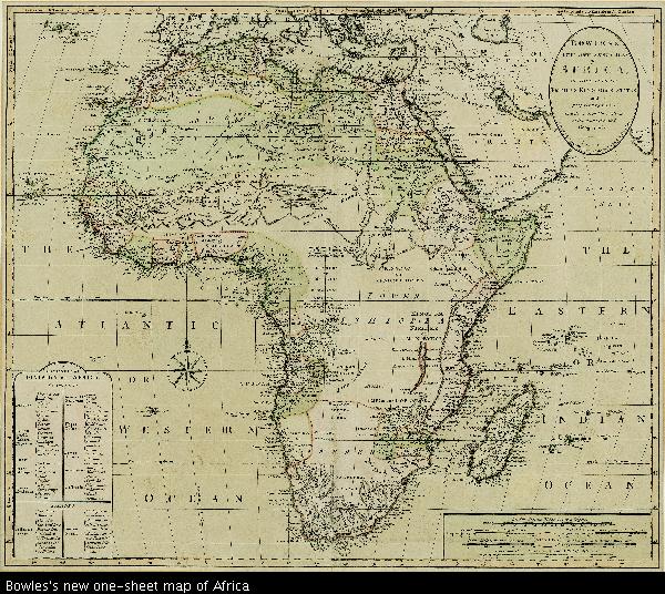
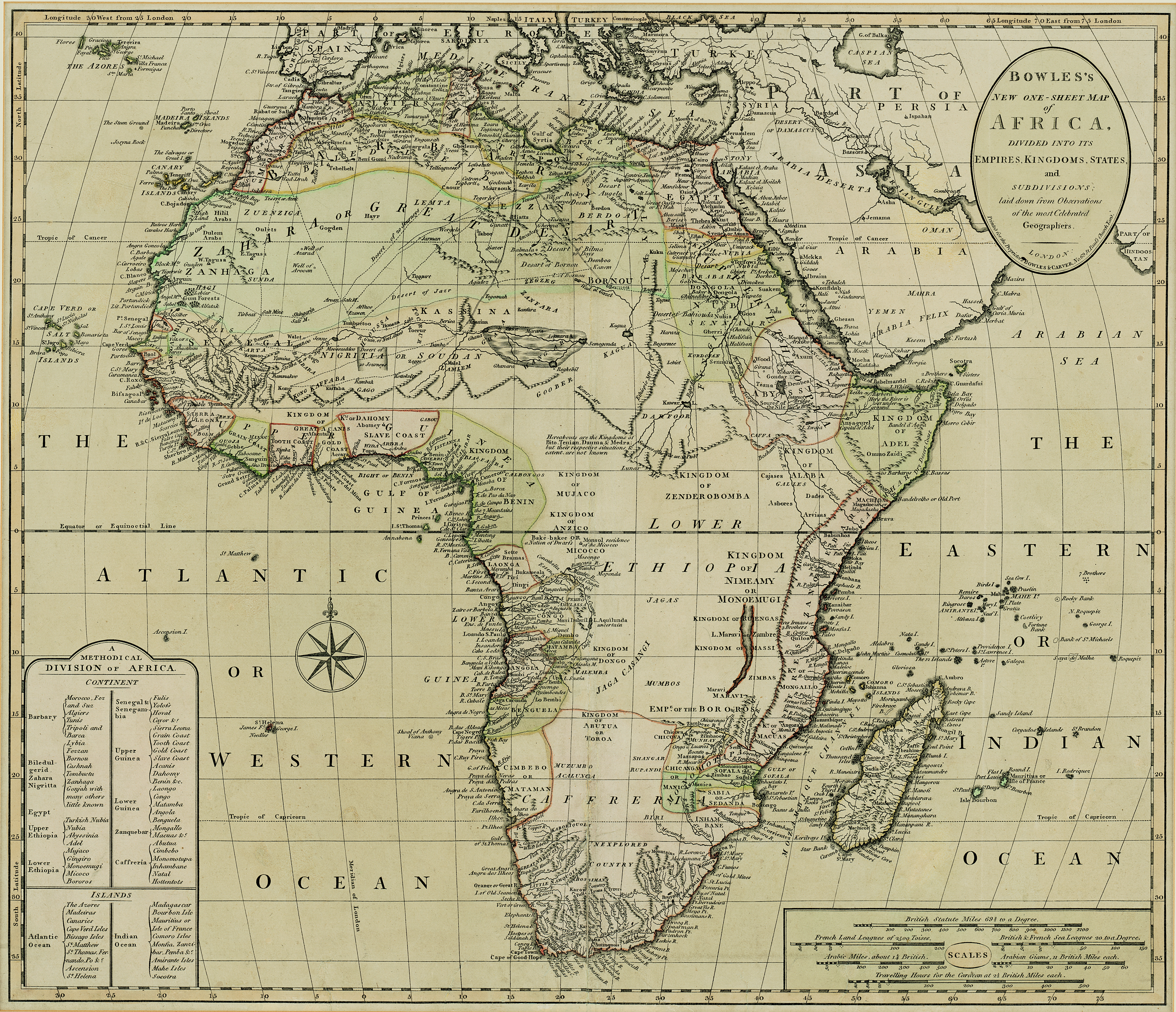
    Bowles's new one-sheet map of Africa

    Thumbnail
    View/Open
    map-10.jpg (35.93Mb)
    Author
    Bowles, Carington, 1724-1793
    Date Created
    1779-1793
    Format Extent
    49 x 57cm
    Rights
    This item is subject to copyright protection. Reproduction of the content, or any part of it, other than for research, academic or non-commercial use is prohibited without prior consent from the copyright holder.
    Copyright Stellenbosch University
    Metadata
    Show full item record
    Abstract
    Coloured map. Line scales given. Inset: a Methodical division of Africa. Carington Bowles was in partnership with his father John till the latter died in 1779; but from 1763 he took over his uncle Thomas Bowles' business in 69, St. Paul's Churchyard, & both this address & his father's are given on their maps. This map was probably pub. after his father's death in 1779 & before his own in 1793.
    URI
    http://hdl.handle.net/10019.2/746
    Collections
    • Hugh Solomon Map Collection [97]

    DSpace software copyright © 2002-2016  DuraSpace
    Contact Us | Send Feedback
    Theme by 
    Atmire NV


    Browse

    All of SUNDigital CollectionsCommunities & CollectionsBy Issue DateAuthorsTitlesSubjectsBy Date CreatedThis CollectionBy Issue DateAuthorsTitlesSubjectsBy Date Created

    My Account

    LoginRegister

    DSpace software copyright © 2002-2016  DuraSpace
    Contact Us | Send Feedback
    Theme by 
    Atmire NV