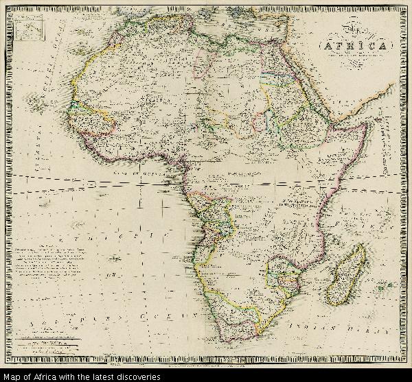
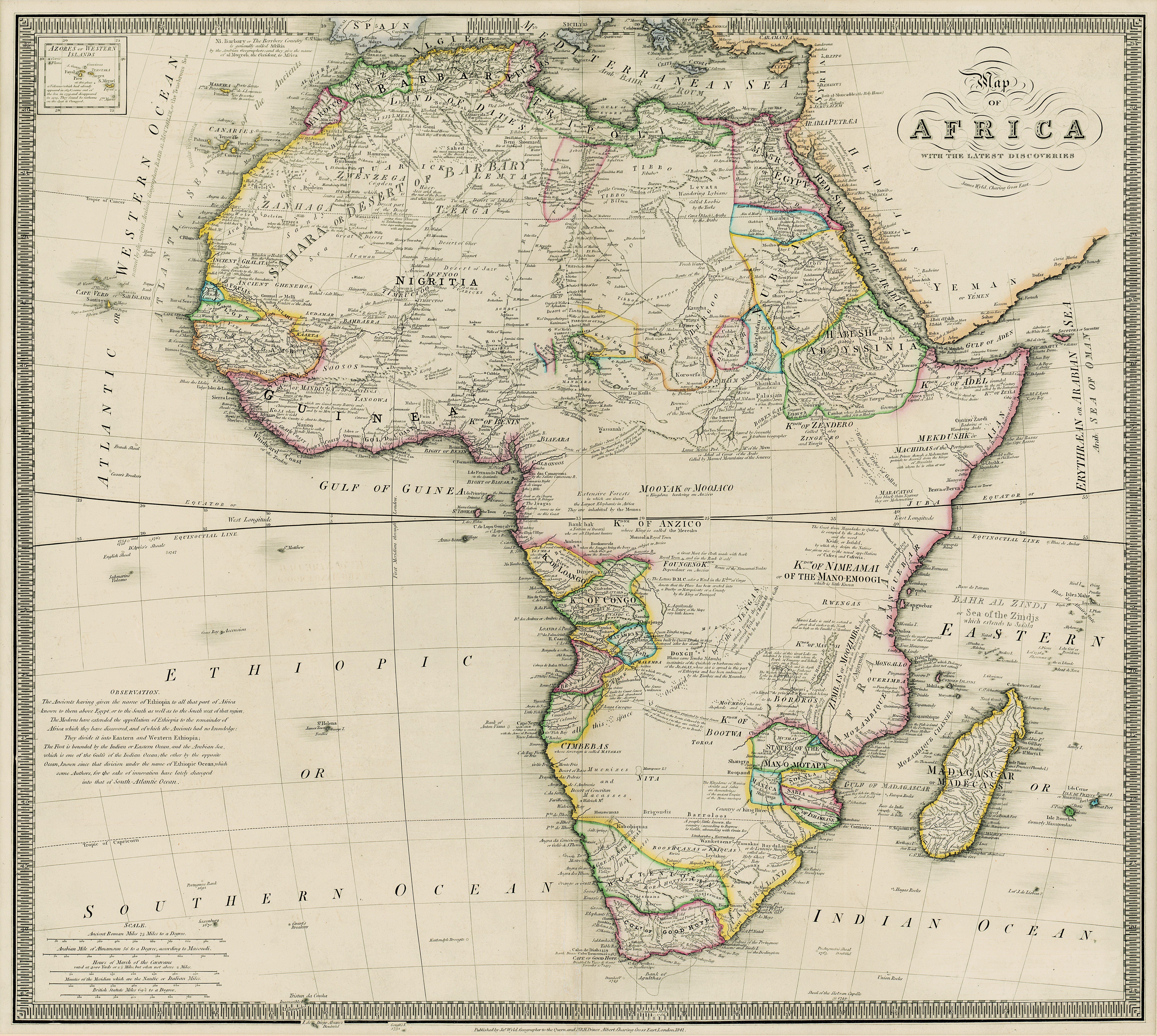
Map of Africa with the latest discoveries
View/
Date
1841Date Created
1841Format Extent
51 x 57cmRights
This item is subject to copyright protection. Reproduction of the content, or any part of it, other than for research, academic or non-commercial use is prohibited without prior consent from the copyright holder.Copyright Stellenbosch University
Metadata
Show full item recordAbstract
Coloured map.
Line scales given.
Insets: Azores or Western Island. - Observation.
First ed. of this map was pub. by W. Faden in 1803 & a 2nd & later eds. by J. Wyld from 1803 onwards. In this 1841 ed. for the first time the medallion with the title & De La Rochette's name is removed but the map is only slightly changed.
The date 1856-8 is written in pencil below the map.