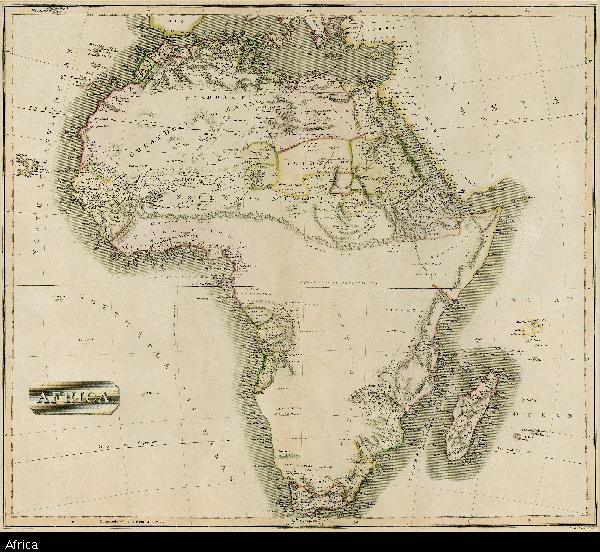
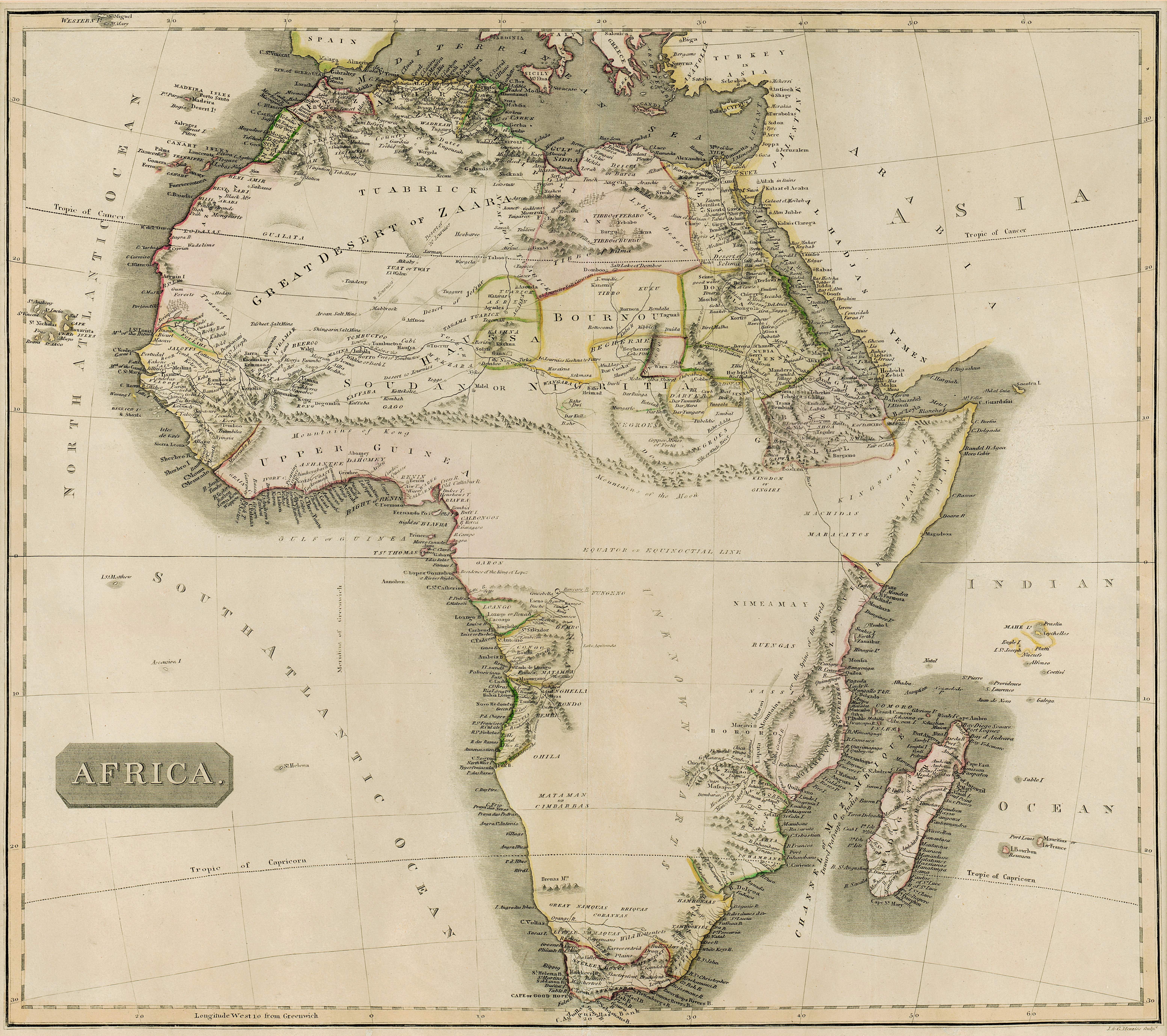
Africa
View/
Date Created
1813-1817Format Extent
46 x 52cmRights
This item is subject to copyright protection. Reproduction of the content, or any part of it, other than for research, academic or non-commercial use is prohibited without prior consent from the copyright holder.Copyright Stellenbosch University
Metadata
Show full item recordAbstract
Coloured map.
No imprint, no date.
This appears to be the same map listed by R. Tooley in his "Collectors' guide to maps of the African continent... 1969, p.117. It was first pub. in 1813 & another ed. with imprint & date removed appeared 1813-1817. It appears in the “New General Atlas" pub. by John Thomson & Co., Edinburgh in 1814 & later.
“In 181-” is written in pencil, bottom left below map.