| dc.contributor | Sanson, Nicolas, 1600-1667 | |
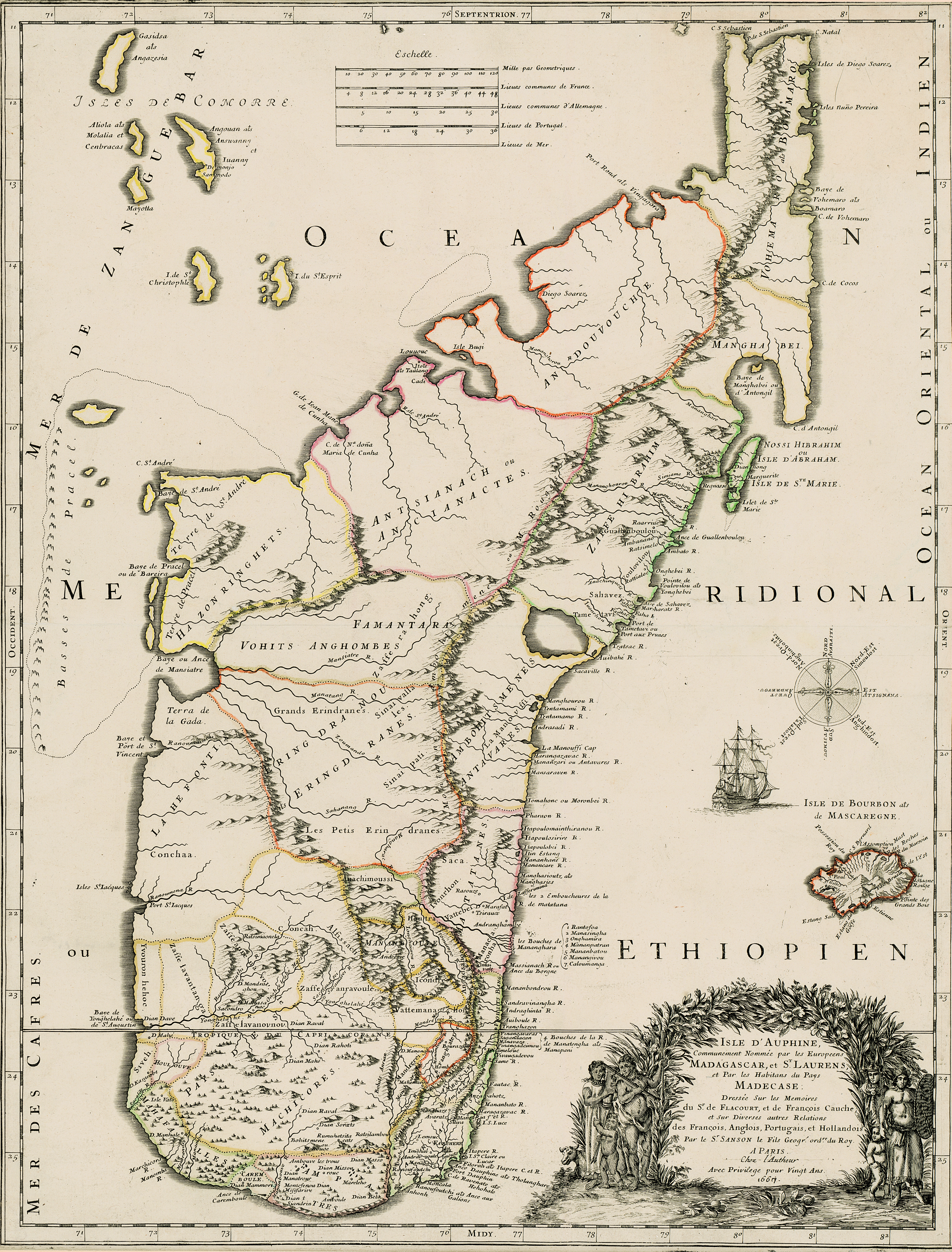
| dc.coverage.spatial | Madagascar | |
| dc.coverage.temporal | 1667 | |
| dc.date.accessioned | 2012-10-11T10:19:46Z | |
| dc.date.available | 2012-10-11T10:19:46Z | |
| dc.date.created | 1667 | |
| dc.identifier.other | Map no. 43 | |
| dc.identifier.uri | http://hdl.handle.net/10019.2/771 | |
| dc.description.abstract | Coloured map.
Line scale given.
Appears (uncoloured) in E. Klemp: Africa on maps dating from the 12th to the 18th century, 1968 (No. 73). | |
| dc.format.extent | 58 x 44cm | |
| dc.language.iso | fr | |
| dc.rights | This item is subject to copyright protection. Reproduction of the content, or any part of it, other than for research, academic or non-commercial use is prohibited without prior consent from the copyright holder. | |
| dc.source | Map from Hugh Solomon Collection, Africana. | |
| dc.subject | Madagascar -- Maps -- Early works to 1800 | en_ZA |
| dc.subject | Cartography -- Madagascar | en_ZA |
| dc.title | Isle d'Auphine | fr |
| dc.type | Map | |
| dc.rights.holder | Copyright Stellenbosch University | |