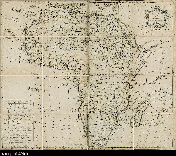
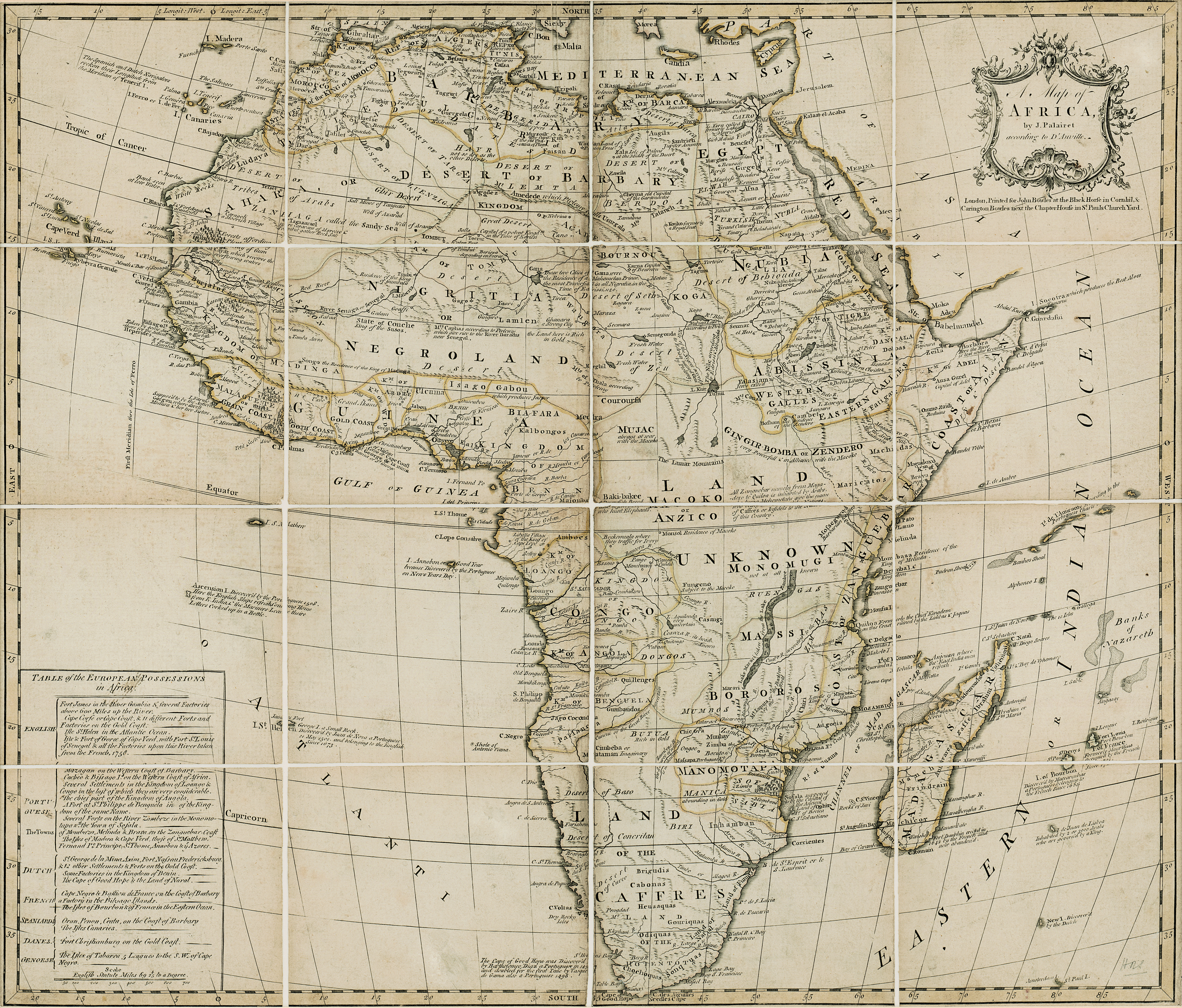
A map of Africa
View/
Date Created
1769Format Extent
49 x 57cmRights
This item is subject to copyright protection. Reproduction of the content, or any part of it, other than for research, academic or non-commercial use is prohibited without prior consent from the copyright holder.Copyright Stellenbosch University
Metadata
Show full item recordAbstract
Coloured map.
Line scale given.
col.map 49x57cm.
Inset: Table of the European possessions in Africa.
Appears in: A general atlas of Thirty Six new and Correct Maps by Palairet and Others executed by Carington Bowles... 1769.