| dc.contributor | Brue, Adrien Hubert, 1786-1832 | |
| dc.coverage.spatial | Africa | |
| dc.coverage.temporal | 1828 | |
| dc.date.accessioned | 2012-10-11T10:19:46Z | |
| dc.date.available | 2012-10-11T10:19:46Z | |
| dc.date.created | 1828 | |
| dc.identifier.other | Map no. 11 | |
| dc.identifier.uri | http://hdl.handle.net/10019.2/784 | |
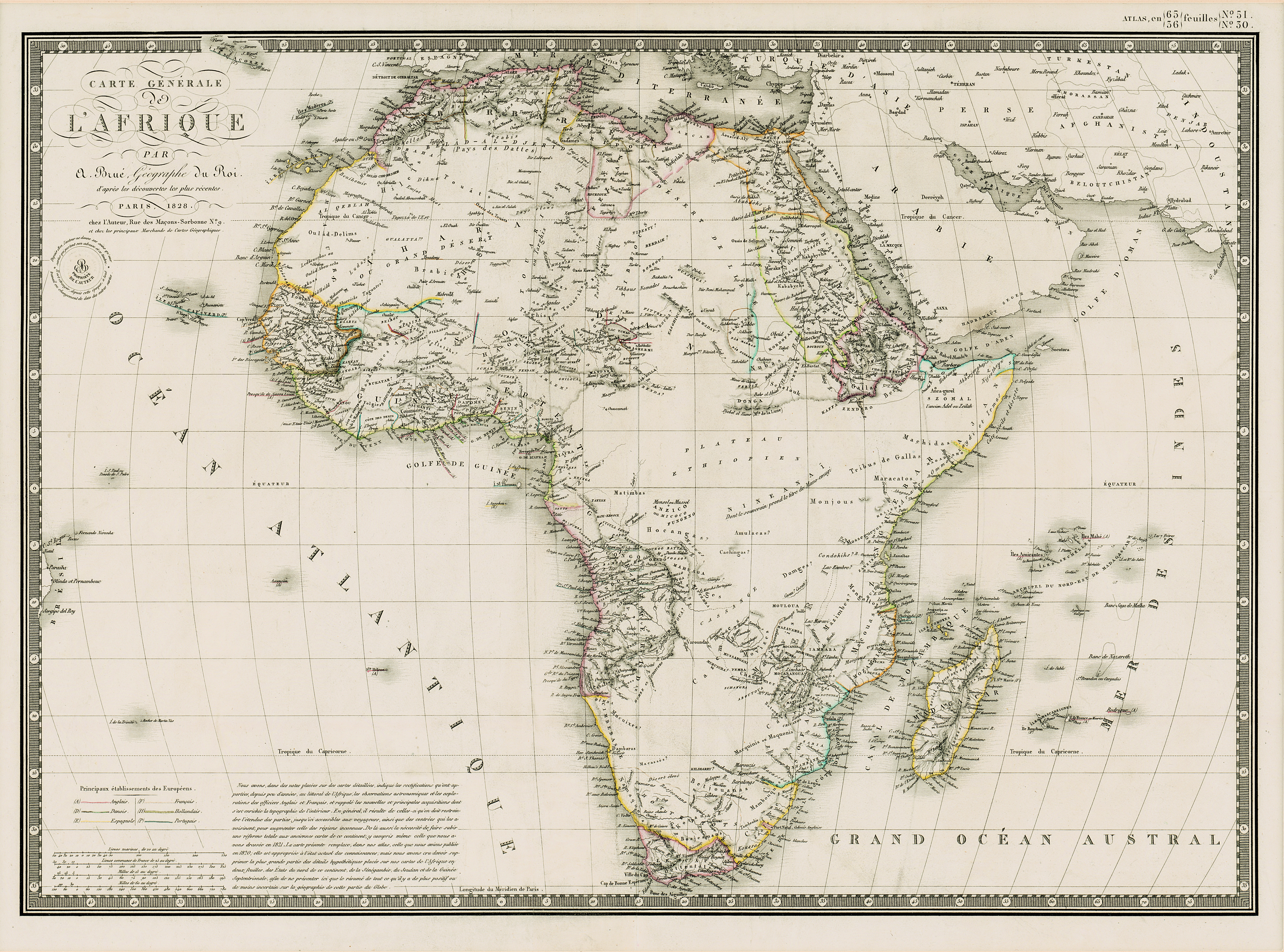
| dc.description.abstract | Coloured map.
Line scales given.
Above top right corner: Atlas, en 65, 56 feuil1es No. 51, 30.
In bottom left corner are line scales and a note. | |
| dc.format.extent | 39 x 51cm | |
| dc.language.iso | fr | |
| dc.rights | This item is subject to copyright protection. Reproduction of the content, or any part of it, other than for research, academic or non-commercial use is prohibited without prior consent from the copyright holder. | |
| dc.source | Map from Hugh Solomon Collection, Africana. | |
| dc.subject | Africa -- Maps -- Early works to 1800 | en_ZA |
| dc.subject | Cartography -- Africa | en_ZA |
| dc.title | Carte generale de l'Afrique | fr |
| dc.type | Map | |
| dc.rights.holder | Copyright Stellenbosch University | |