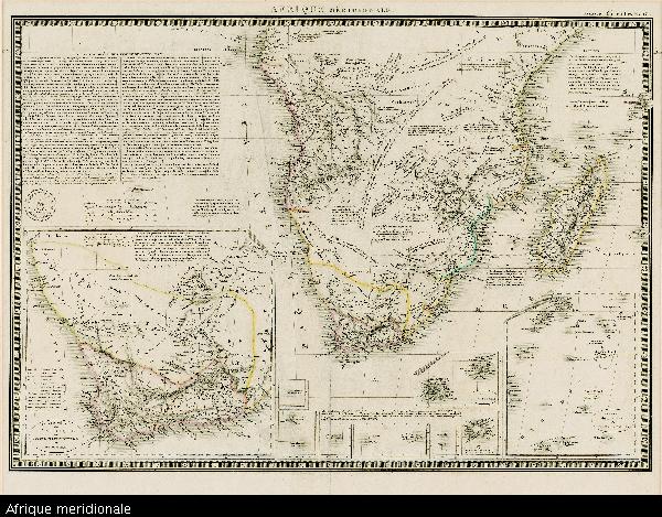
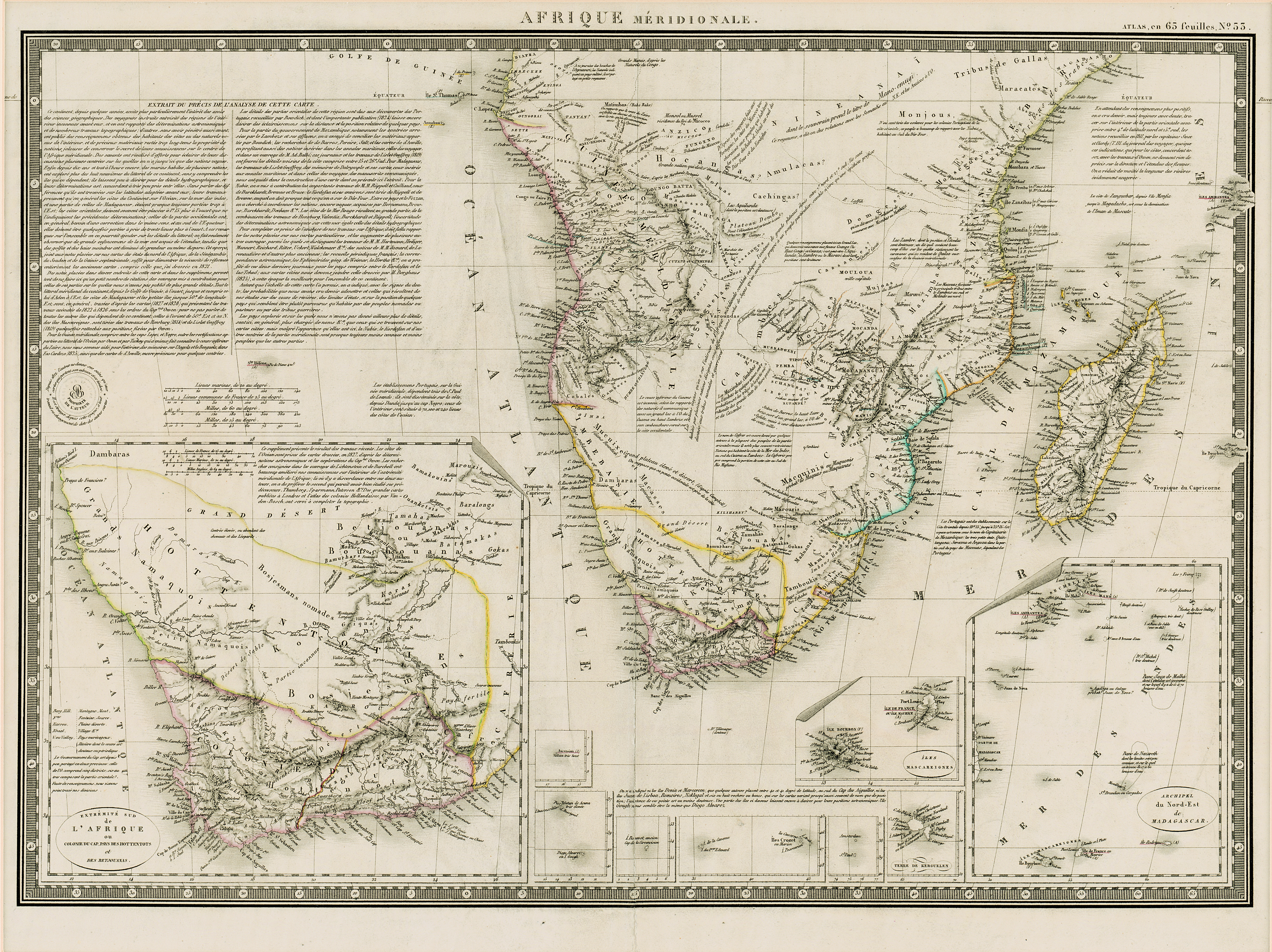
Afrique meridionale
View/
Date Created
1828Format Extent
36 x 51cmRights
This item is subject to copyright protection. Reproduction of the content, or any part of it, other than for research, academic or non-commercial use is prohibited without prior consent from the copyright holder.Copyright Stellenbosch University
Metadata
Show full item recordAbstract
Coloured map.
Line scales given.
Above top right corner: Atlas, en 65 feuilles, No. 53
Author of map is not given but on left centre side a circle with the words "Carte encyprotipe" is stamped; within this is printed: AB/proprieété de l'auteur. The same stamp appears on a map by A. Brué.
Insets: In bottom left corner with notes above it, "Extrémité sud de l'Afrique ou Colonie du Cap, pays des Hottentots et des Betjouanas"; in bottom right, 8 insets of islands.