• Login
    View Item 
    •   SUNDigital Collections
    • Images
    • Hugh Solomon Map Collection
    • View Item
    •   SUNDigital Collections
    • Images
    • Hugh Solomon Map Collection
    • View Item
    JavaScript is disabled for your browser. Some features of this site may not work without it.

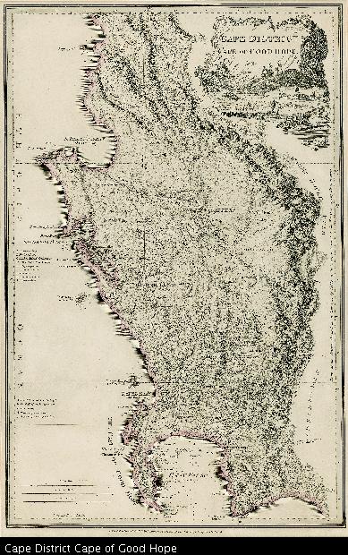
    Cape District Cape of Good Hope

    Thumbnail
    View/Open
    map-79.jpg (24.39Mb)
    Date
    1838
    Author
    De La Rochette, Louis Stanislas D'Arcy, 1731-1802
    Date Created
    1838
    Format Extent
    51 x 33cm
    Rights
    This item is subject to copyright protection. Reproduction of the content, or any part of it, other than for research, academic or non-commercial use is prohibited without prior consent from the copyright holder.
    Copyright Stellenbosch University
    Metadata
    Show full item record
    Abstract
    Coloured map. Line scale given. This is a later ed. of De La Rochette's map of 1795, "The Dutch Colony of the Cape of Good Hope, 2nd ed." The names of De La Rochette & the engraver are omitted & the title is changed, also the imprint. The note on the Hottentot Kraals & the Route of the British army are omitted from the lettered table. "The Cape" is changed to "Cape Town" & St. Martin's Point is added near St. Helen's Bay.
    URI
    http://hdl.handle.net/10019.2/791
    Collections
    • Hugh Solomon Map Collection [97]

    DSpace software copyright © 2002-2016  DuraSpace
    Contact Us
    Theme by 
    Atmire NV


    Browse

    All of SUNDigital CollectionsCommunities & CollectionsBy Issue DateAuthorsTitlesSubjectsBy Date CreatedThis CollectionBy Issue DateAuthorsTitlesSubjectsBy Date Created

    My Account

    LoginRegister

    Statistics

    View Usage Statistics

    DSpace software copyright © 2002-2016  DuraSpace
    Contact Us
    Theme by 
    Atmire NV