• Login
    View Item 
    •   SUNDigital Collections
    • Images
    • Hugh Solomon Map Collection
    • View Item
    •   SUNDigital Collections
    • Images
    • Hugh Solomon Map Collection
    • View Item
    JavaScript is disabled for your browser. Some features of this site may not work without it.

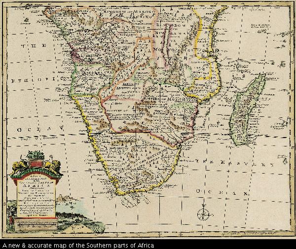
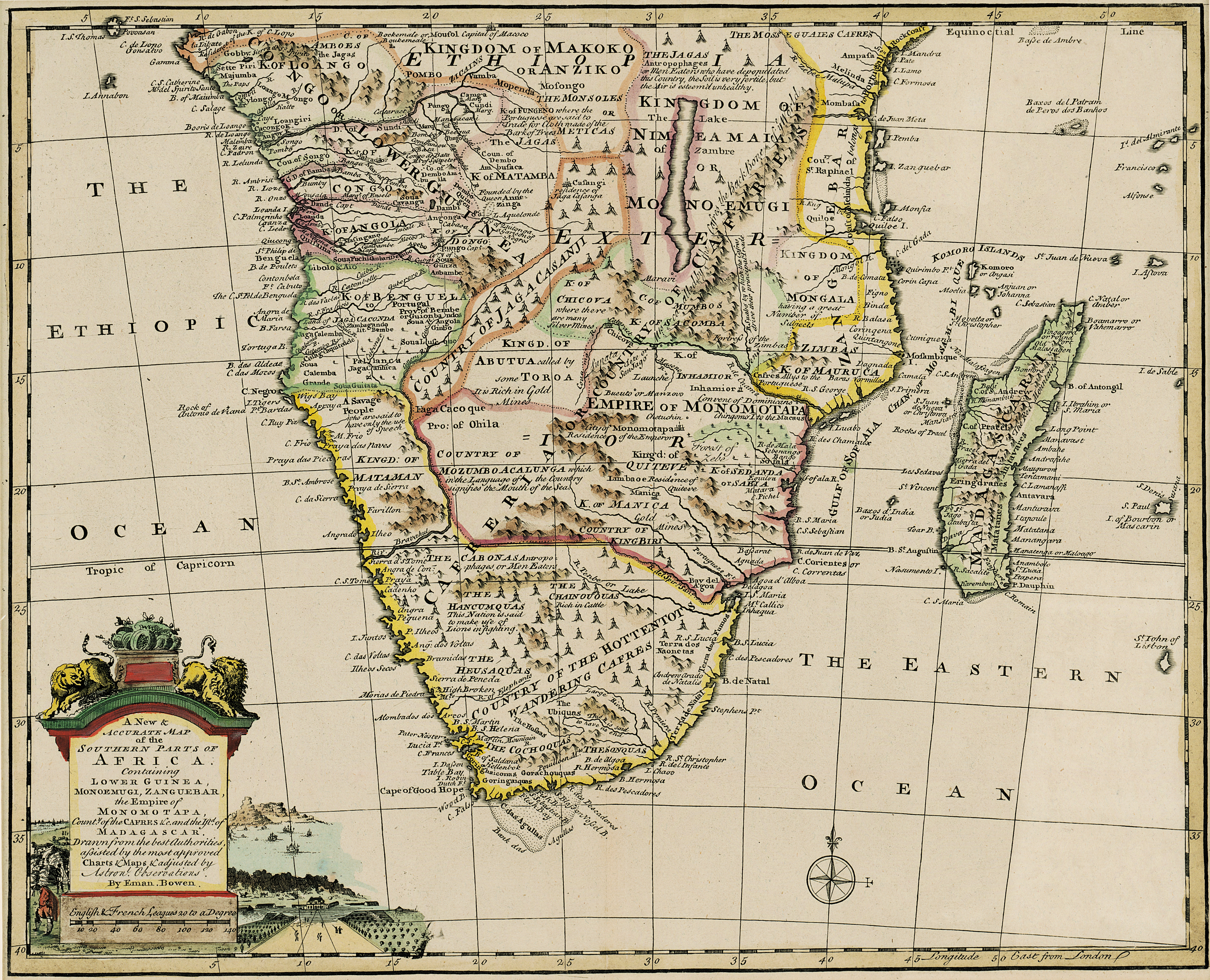
    A new & accurate map of the Southern parts of Africa

    Thumbnail
    View/Open
    map-54.jpg (19.03Mb)
    Author
    Bowen, Emanuel, d.1767
    Date Created
    1747
    Format Extent
    34 x 43cm
    Rights
    This item is subject to copyright protection. Reproduction of the content, or any part of it, other than for research, academic or non-commercial use is prohibited without prior consent from the copyright holder.
    Copyright Stellenbosch University
    Metadata
    Show full item record
    Abstract
    Coloured map. Line scale given in English and French Leagues. First appeared in 1747 and was reissued in 1752 and 1766. It also appeared (uncoloured) in E. Bowen: A complete atlas... of the known world; also in his "Systemo geographiae." Title within cartouche bottom left with vignette of Table Bay, Governor's house and gardens, and Hottentot Kraal. cl760 is written in pencil in top right corner.
    URI
    http://hdl.handle.net/10019.2/825
    Collections
    • Hugh Solomon Map Collection [97]

    DSpace software copyright © 2002-2016  DuraSpace
    Contact Us
    Theme by 
    Atmire NV


    Browse

    All of SUNDigital CollectionsCommunities & CollectionsBy Issue DateAuthorsTitlesSubjectsBy Date CreatedThis CollectionBy Issue DateAuthorsTitlesSubjectsBy Date Created

    My Account

    LoginRegister

    Statistics

    View Usage Statistics

    DSpace software copyright © 2002-2016  DuraSpace
    Contact Us
    Theme by 
    Atmire NV