| dc.contributor | Russell, J. | |
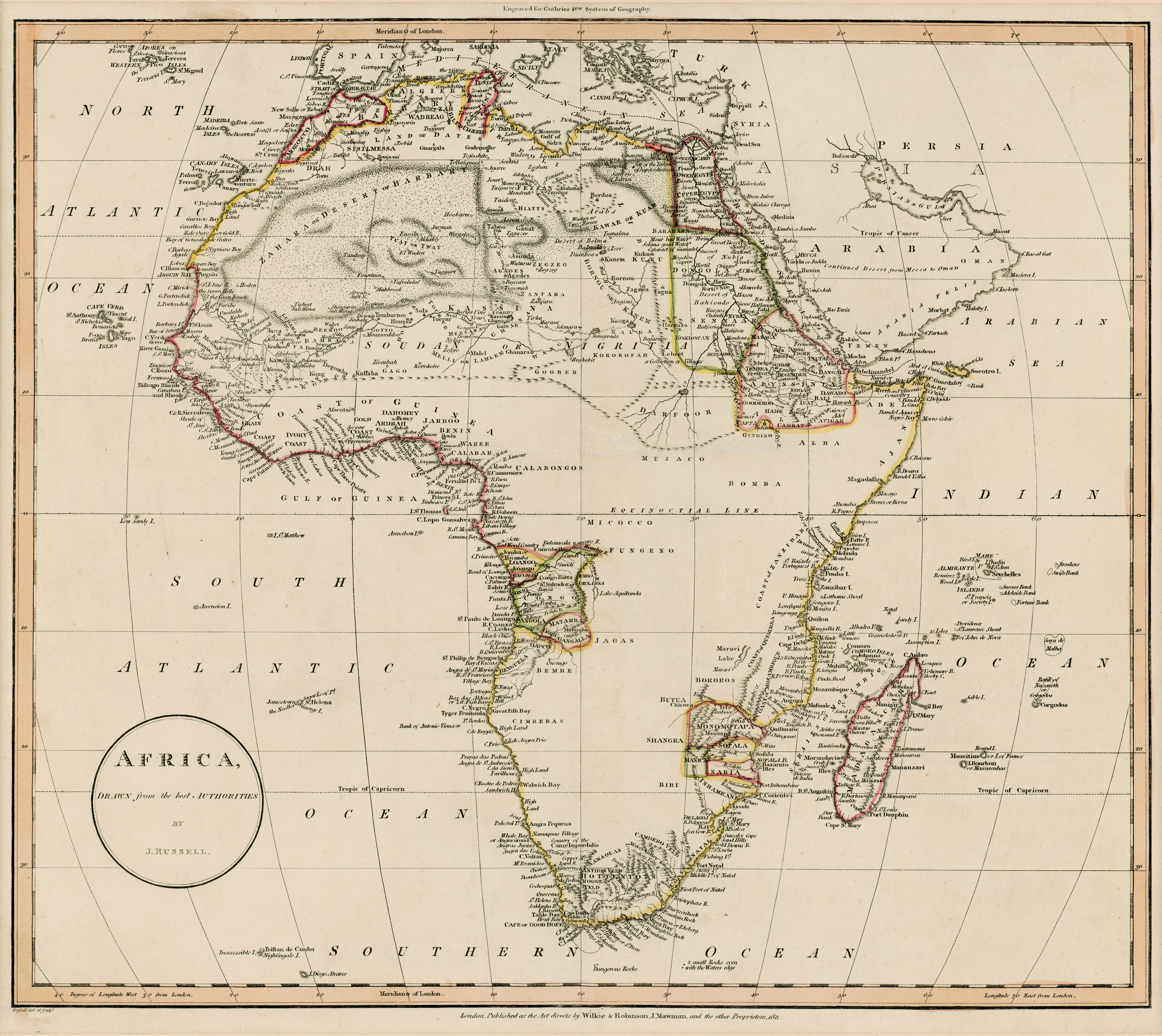
| dc.coverage.spatial | Africa | |
| dc.coverage.temporal | 1811 | |
| dc.date.accessioned | 2012-10-11T10:19:46Z | |
| dc.date.available | 2012-10-11T10:19:46Z | |
| dc.date.created | 1811 | |
| dc.date.issued | 1811 | |
| dc.identifier.other | Map no. 29 | |
| dc.identifier.uri | http://hdl.handle.net/10019.2/786 | |
| dc.description.abstract | Coloured map.
Scale not given.
In lower left corner: J. Russell del. et sculp. | |
| dc.format.extent | 39 x 45cm | |
| dc.language.iso | en | |
| dc.publisher | Wilkie & Robinson | |
| dc.rights | This item is subject to copyright protection. Reproduction of the content, or any part of it, other than for research, academic or non-commercial use is prohibited without prior consent from the copyright holder. | |
| dc.source | Map from Hugh Solomon Collection, Africana. | |
| dc.subject | Africa -- Maps -- Early works to 1800 | en_ZA |
| dc.subject | Cartography -- Africa | en_ZA |
| dc.title | Africa | en |
| dc.type | Map | |
| dc.rights.holder | Copyright Stellenbosch University | |