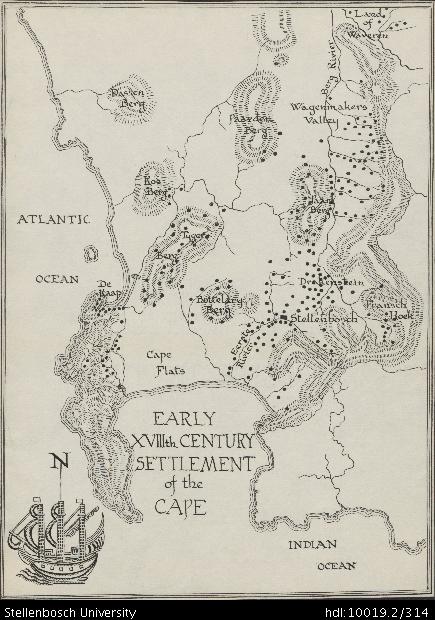
Map of an early eighteenth century settlement of the Cape

View/
Author
Walton, James, 1911-1999
Rights
This item is subject to copyright protection. Reproduction of the content, or any part of it, other than for research, academic or non-commercial use is prohibited without prior consent from the copyright holder.Copyright James Walton
Metadata
Show full item recordAbstract
Drawing of an early eighteenth century settlement of the Cape, depicting Cape Flats, De Kaap, Tygerberg, Koeberg, Dassenberg, Paardeberg, Bottelaryberg, Eersterivier, Stellenbosch, Franschhoek, Drakenstein, Paarlberg, Wagenmakers Valley, Bergrivier and Land of Waveren.
Collections
- James Walton Collection [885]
