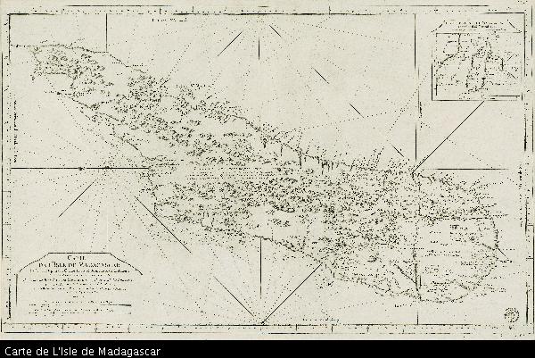
Carte de L'Isle de Madagascar

View/
Author
Bellin, Jacques Nicolas, 1703-1772
Date Created
1765Format Extent
54 x 87,5cmRights
This item is subject to copyright protection. Reproduction of the content, or any part of it, other than for research, academic or non-commercial use is prohibited without prior consent from the copyright holder.Copyright Stellenbosch University
Metadata
Show full item recordAbstract
Map.
Line scales given.
Title in plain cartouche bottom left.
Plate number top right: No. 93
Stamp in bottom right corner: Depot de la Marine, with the fleur de lys; below the map is the price - trente Sols.
Inset: Carte de L'Isle de Madagascar et du Canal de Mozambique.
Maps of Africa bearing a plate number first appeared in Bellin's "Petit Atlas Maritime" of 1764, a reissue of his "Petit Atlas Francais" of 1763; this map may be from a later ed.
