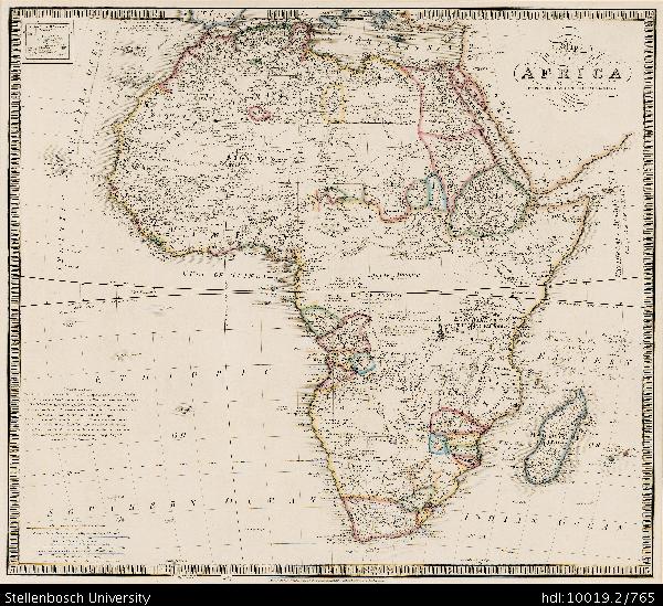
Map of Africa with the latest discoveries
View/
Date Created
1855-1861Format Extent
51 x 58cmRights
This item is subject to copyright protection. Reproduction of the content, or any part of it, other than for research, academic or non-commercial use is prohibited without prior consent from the copyright holder.Copyright Stellenbosch University
Metadata
Show full item recordAbstract
Coloured map.
Line scales given.
Insets: Azores or Western Islands. - Observation.
This is still basically the De La Rochette map of 1803 but considerably revised since the eds. Of 1803-1855 eg. Transvaal Republic and Orange River Republic are drawn in and named.