| dc.contributor | Cary, John, 1754-1835 | |
| dc.coverage.spatial | Africa | |
| dc.coverage.temporal | 1805 | |
| dc.date.accessioned | 2012-10-11T10:19:46Z | |
| dc.date.available | 2012-10-11T10:19:46Z | |
| dc.date.created | 1805 | |
| dc.date.issued | 1805 | |
| dc.identifier.other | Map no. 12 | |
| dc.identifier.uri | http://hdl.handle.net/10019.2/774 | |
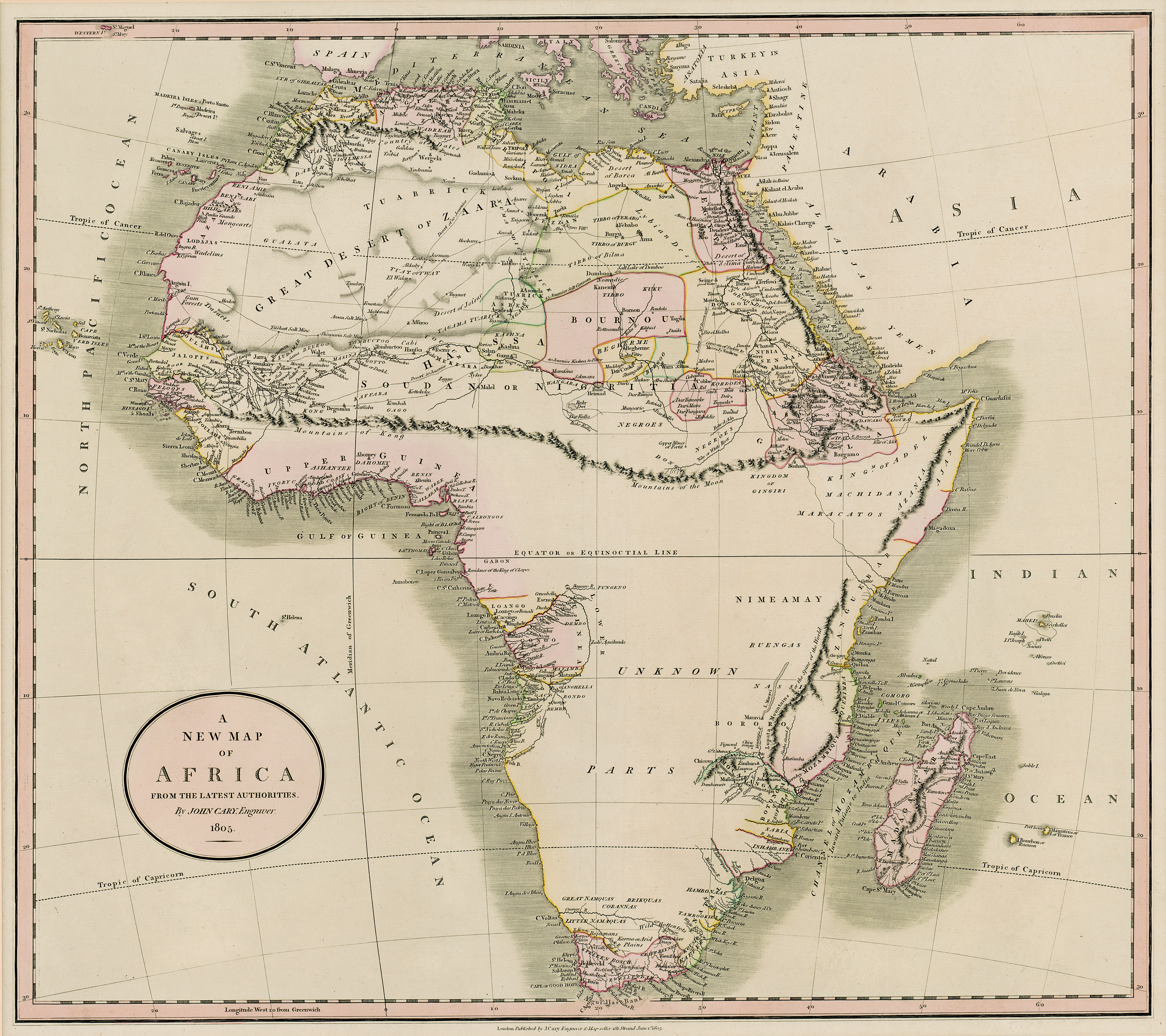
| dc.description.abstract | Coloured map.
Scale not given. | |
| dc.format.extent | 47 x 53cm | |
| dc.language.iso | en | |
| dc.publisher | J. Cary | |
| dc.rights | This item is subject to copyright protection. Reproduction of the content, or any part of it, other than for research, academic or non-commercial use is prohibited without prior consent from the copyright holder. | |
| dc.source | Map from Hugh Solomon Collection, Africana. | |
| dc.subject | Africa -- Maps -- Early works to 1800 | en_ZA |
| dc.subject | Cartography -- Africa | en_ZA |
| dc.title | A new map of Africa from the latest authorities | en |
| dc.type | Map | |
| dc.rights.holder | Copyright Stellenbosch University | |