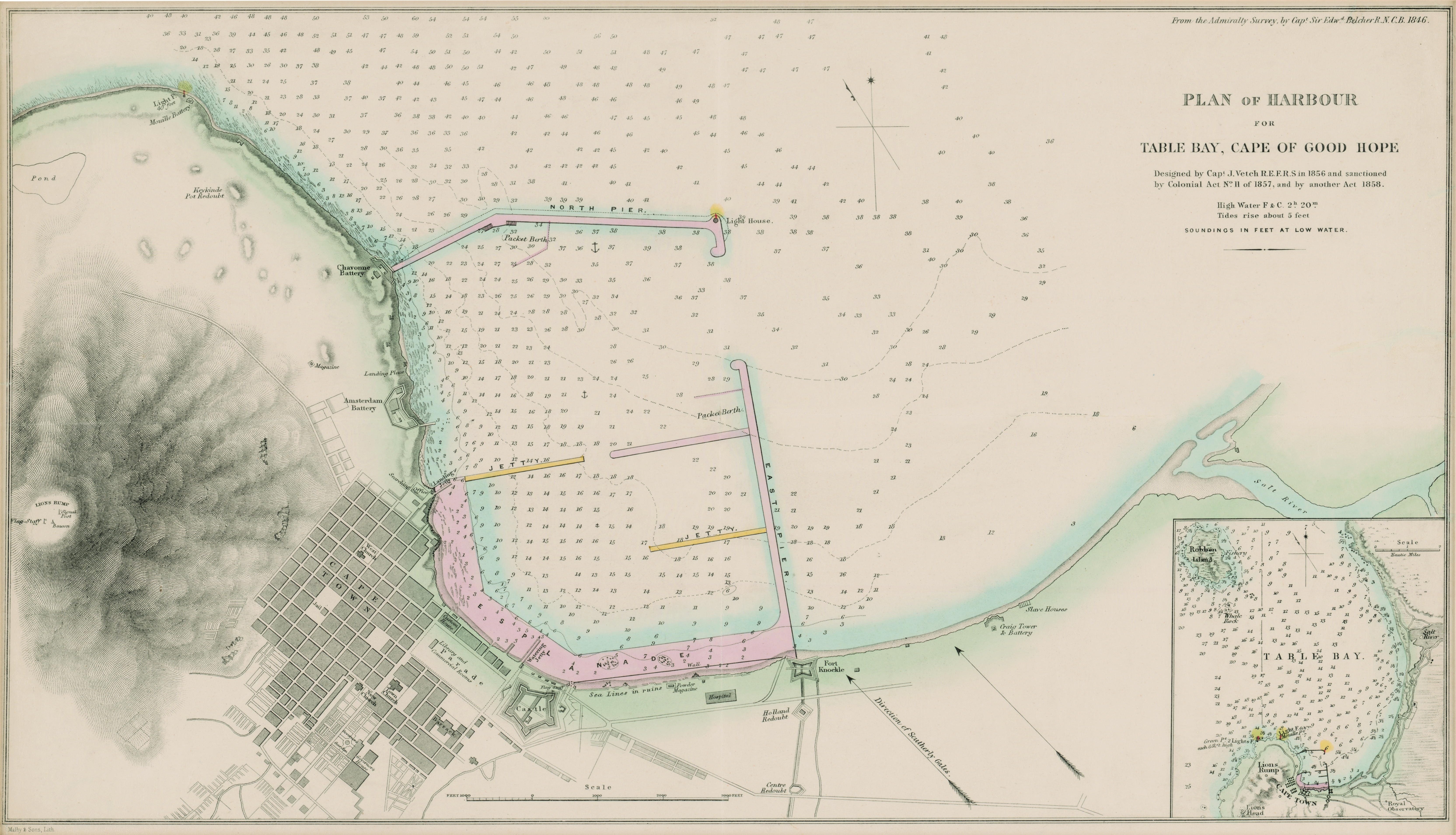
Plan of harbour for Table Bay, Cape of Good Hope
| dc.contributor | Malby & Sons | |
| dc.contributor | Vetch, J. | |
| dc.coverage.spatial | Cape of Good Hope | |
| dc.coverage.temporal | 1858 | |
| dc.date.accessioned | 2012-10-11T10:19:47Z | |
| dc.date.available | 2012-10-11T10:19:47Z | |
| dc.date.created | 1858 | |
| dc.identifier.other | Map no. 92 | |
| dc.identifier.uri | http://hdl.handle.net/10019.2/794 | |
| dc.description.abstract | Coloured plan. Line scale given, also for inset. In top right corner, "From the Admiralty Survey, by Capt. Edwd. Belcher R.N.C.B. 1846." Inset: A chart of Table Bay including Robben Island, in bottom right corner. | |
| dc.format.extent | 32 x 56cm | |
| dc.language.iso | en | |
| dc.rights | This item is subject to copyright protection. Reproduction of the content, or any part of it, other than for research, academic or non-commercial use is prohibited without prior consent from the copyright holder. | |
| dc.source | Map from Hugh Solomon Collection, Africana. | |
| dc.subject | Cape of Good Hope (South Africa) -- Maps | en_ZA |
| dc.subject | South Africa -- Maps -- Early works to 1800 | en_ZA |
| dc.subject | Cartography -- South Africa -- Cape of Good Hope | en_ZA |
| dc.subject | Table Bay (South Africa) -- Maps -- Early works to 1800 | en_ZA |
| dc.subject | Cartography -- South Africa -- Table Bay | en_ZA |
| dc.subject | Harbors -- South Africa -- Cape Town | en_ZA |
| dc.title | Plan of harbour for Table Bay, Cape of Good Hope | en |
| dc.type | Map | |
| dc.rights.holder | Copyright Stellenbosch University |
Files in this item
This item appears in the following Collection(s)
-
Hugh Solomon Map Collection [97]
Historical maps of Africa
Related items
Showing items related by title, author, creator and subject.
-
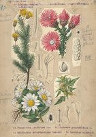
Compositae, Inuleae-Gnaphaliinae, -Athrixiinae, -Buphthalminae & Heliantheae
(1932)Plate 59 from The flora of South Africa (vol. 3, part 2) featuring Compositae, Inuleae-Gnaphaliinae, -Athrixiinae, -Buphthalminae & Heliantheae. -
-
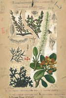
Podostemonaceae, Pittosporaceae, Cunoniaceae & Myrothamnaceae
(1925)Plate 11 from The flora of South Africa (vol. 2, part 1) featuring Podostemonaceae, Pittosporaceae, Cunoniaceae & Myrothamnaceae.