| dc.contributor | Wells, Edward, 1667-1727 | |
| dc.coverage.spatial | Africa | |
| dc.coverage.temporal | 1722 | |
| dc.date.accessioned | 2012-10-11T10:19:48Z | |
| dc.date.available | 2012-10-11T10:19:48Z | |
| dc.date.created | 1722 | |
| dc.identifier.other | Map no. 37 | |
| dc.identifier.uri | http://hdl.handle.net/10019.2/817 | |
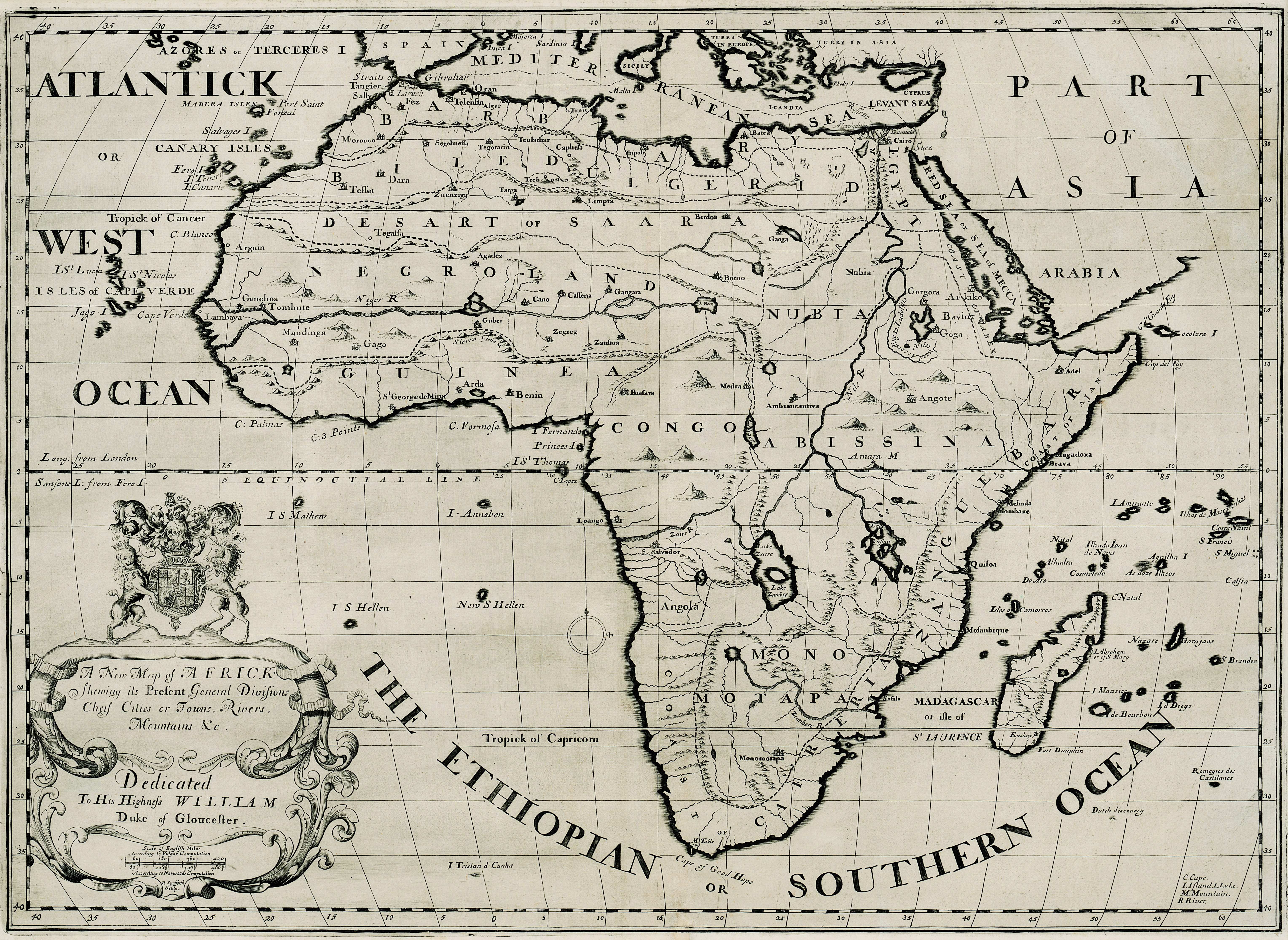
| dc.description.abstract | Map.
Probably taken from the 1722 ed. of "A new sett of maps" by E. Wells as the figure 37 inscribed twice on top border corresponds to the no. given in this ed. | |
| dc.format.extent | 37 x 51cm | |
| dc.language.iso | en | |
| dc.rights | This item is subject to copyright protection. Reproduction of the content, or any part of it, other than for research, academic or non-commercial use is prohibited without prior consent from the copyright holder. | |
| dc.source | Map from Hugh Solomon Collection, Africana. | |
| dc.subject | Africa -- Maps -- Early works to 1800 | en_ZA |
| dc.subject | Cartography -- Africa | en_ZA |
| dc.title | A new map of Africk | en |
| dc.type | Map | |
| dc.rights.holder | Copyright Stellenbosch University | |
| dc.description.featured | true | en_ZA |