| dc.contributor | Janvier, Le Sieur | |
| dc.coverage.spatial | Africa | |
| dc.coverage.temporal | 1762 | |
| dc.date.accessioned | 2012-10-11T10:19:48Z | |
| dc.date.available | 2012-10-11T10:19:48Z | |
| dc.date.created | 1762 | |
| dc.identifier.other | Map no. 19 | |
| dc.identifier.uri | http://hdl.handle.net/10019.2/820 | |
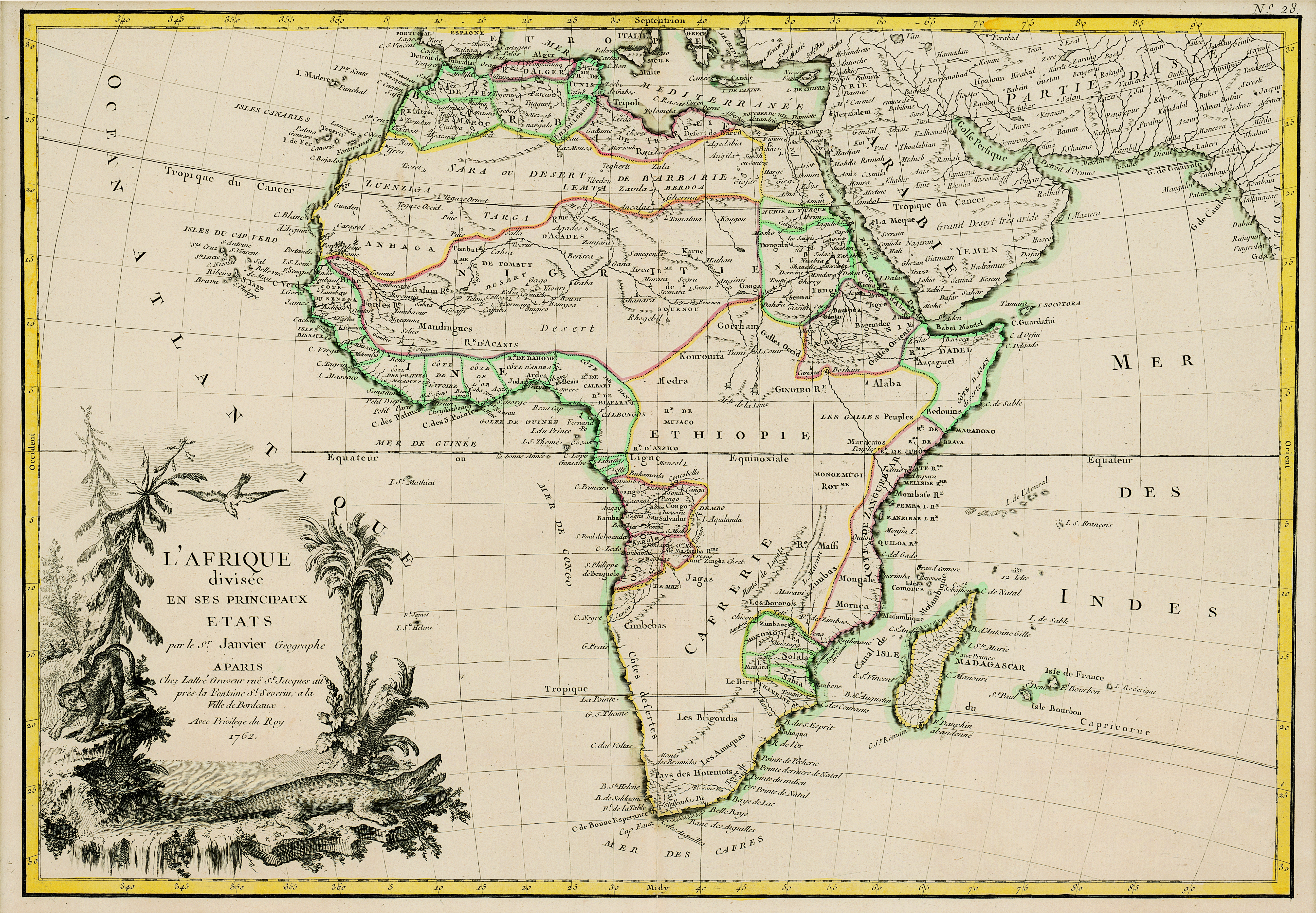
| dc.description.abstract | Coloured map.
Scale not given.
Above top right corner: No. 28
Title within cartouche bottom left with palm trees, crocodile etc. | |
| dc.format.extent | 31 x 44cm | |
| dc.language.iso | fr | |
| dc.rights | This item is subject to copyright protection. Reproduction of the content, or any part of it, other than for research, academic or non-commercial use is prohibited without prior consent from the copyright holder. | |
| dc.source | Map from Hugh Solomon Collection, Africana. | |
| dc.subject | Africa -- Maps -- Early works to 1800 | en_ZA |
| dc.subject | Cartography -- Africa | en_ZA |
| dc.title | L'Afrique divisee en ses principaux etats | fr |
| dc.type | Map | |
| dc.rights.holder | Copyright Stellenbosch University | |