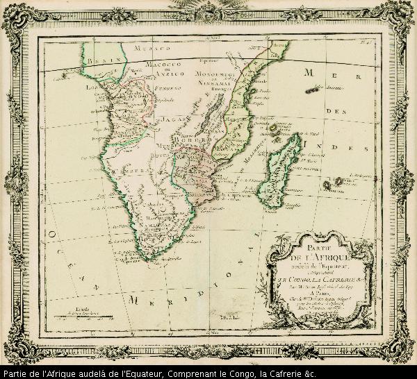
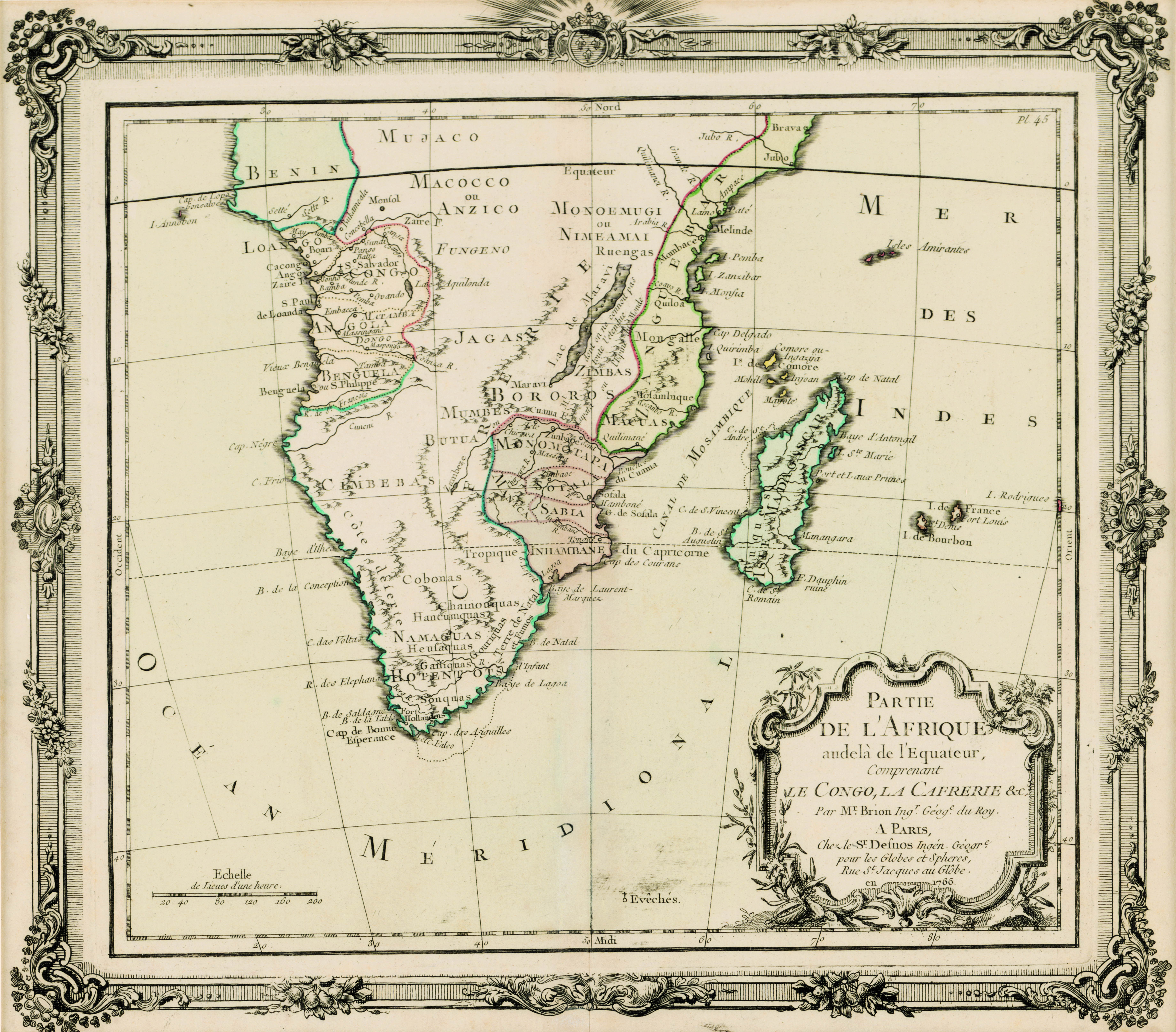
Partie de l'Afrique audelá de l'Equateur, Comprenant le Congo, la Cafrerie &c.
View/
Date Created
1766Format Extent
28 x 31cmRights
This item is subject to copyright protection. Reproduction of the content, or any part of it, other than for research, academic or non-commercial use is prohibited without prior consent from the copyright holder.Copyright Stellenbosch University
Metadata
Show full item recordAbstract
Coloured map.
Paris, chez le Sr. Desnos... 1766
"This map may originally have formed part of Brion de la Tour's "Atlas général..., issued in Paris in 1767", Johannesburg Pub. Lib.: Exhibition of decorative maps of Africa up to 1800, 1952, descriptive catalogue, p.137.