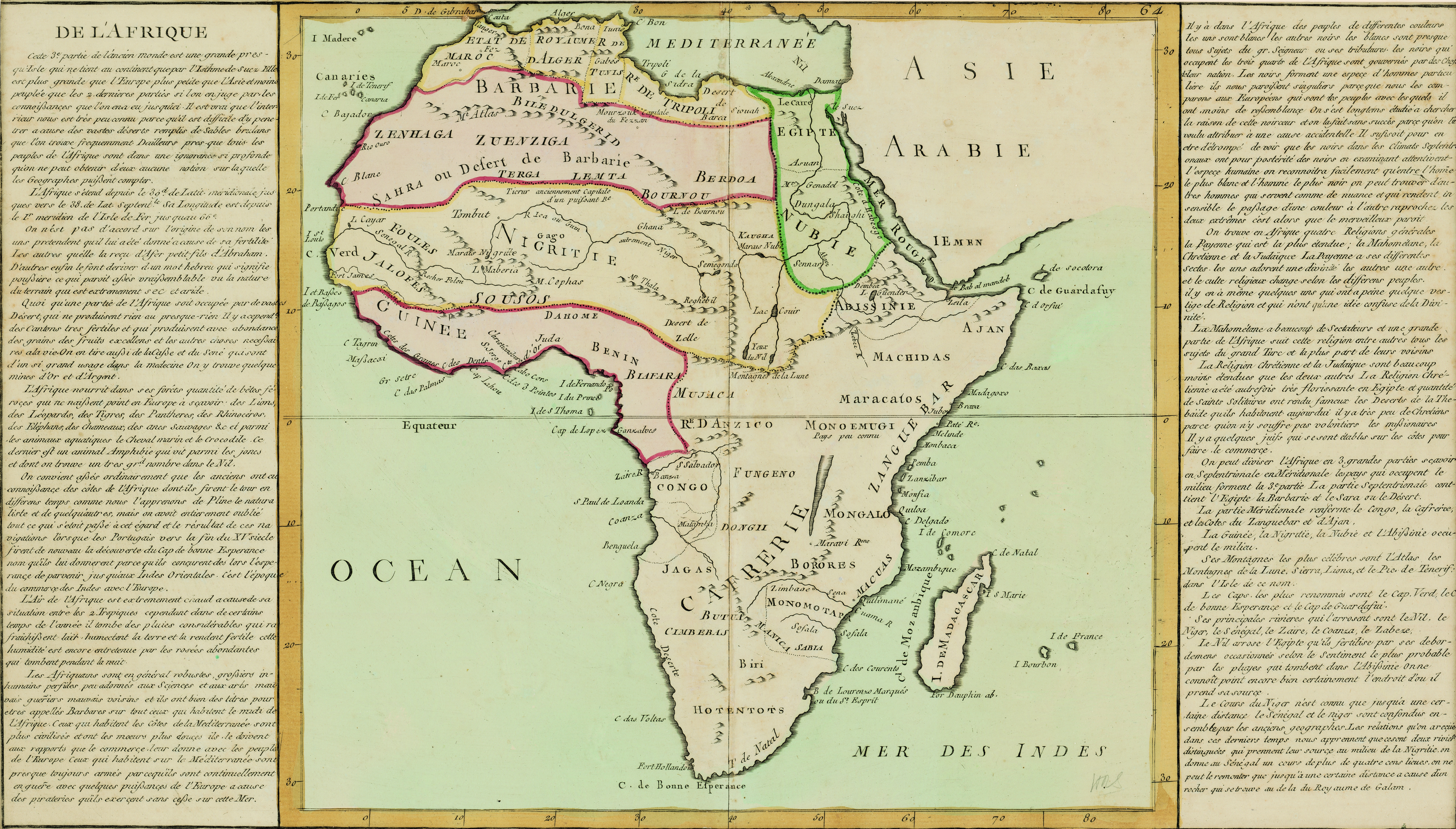
De l'Afrique
View/
Date Created
17--Format Extent
31 x 34cmRights
This item is subject to copyright protection. Reproduction of the content, or any part of it, other than for research, academic or non-commercial use is prohibited without prior consent from the copyright holder.Copyright Stellenbosch University
Metadata
Show full item recordAbstract
Coloured map.
Scale not given.
On either side of map is a description of Africa in French which is headed "De l'Afrique.” A plain map with no decoration, no title or indication of its author or source. In southern Africa only the following are noted: Fort Hollandois, C. de Bonne Esperance, T. de Natal.