| dc.contributor | Jaillot, Alexis Hubert, 1632-1712 | |
| dc.coverage.spatial | Europe | |
| dc.coverage.temporal | 1692 | |
| dc.date.accessioned | 2012-10-11T10:19:47Z | |
| dc.date.available | 2012-10-11T10:19:47Z | |
| dc.date.created | 1692 | |
| dc.date.issued | 1692 | |
| dc.identifier.other | Map no. 95 | |
| dc.identifier.uri | http://hdl.handle.net/10019.2/795 | |
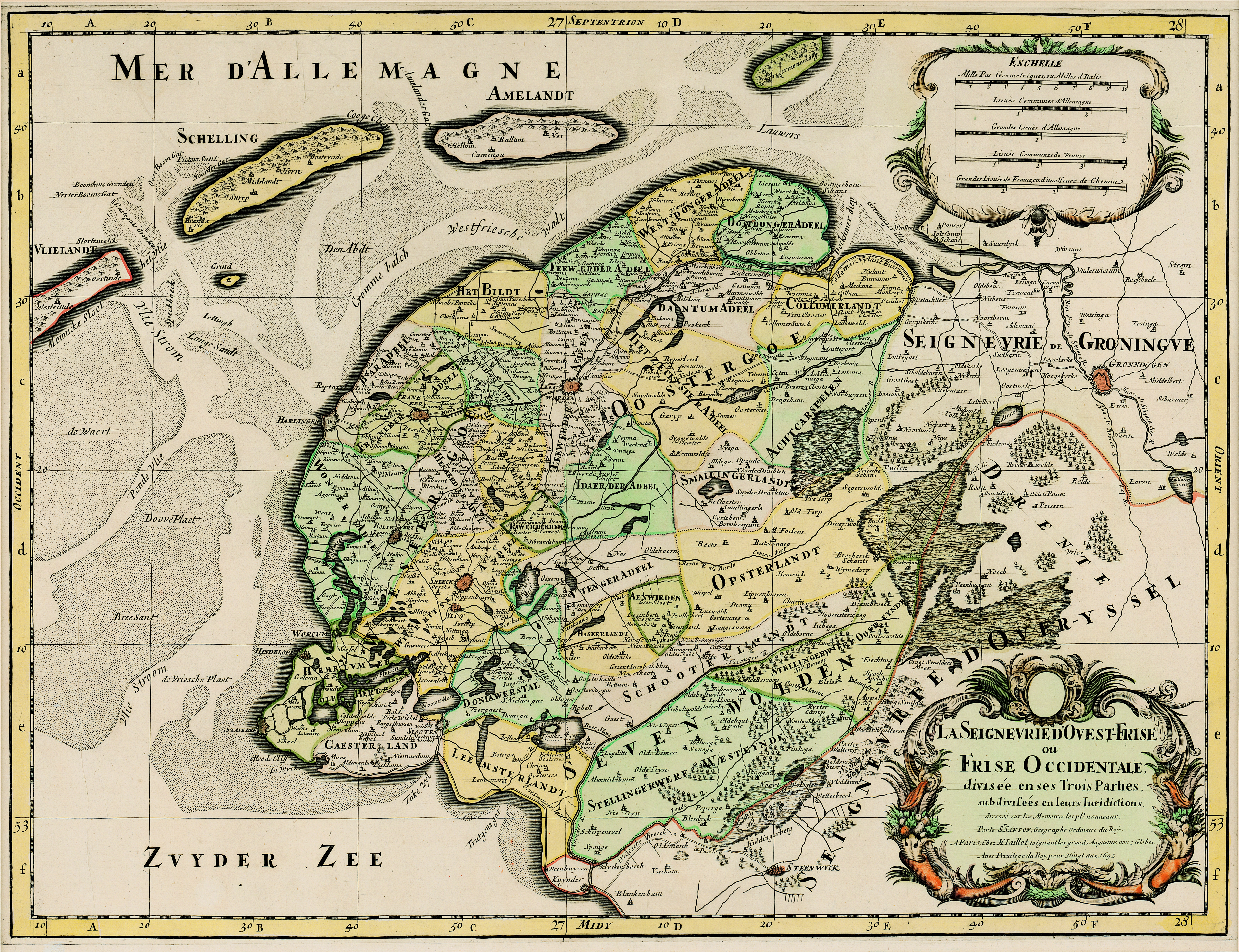
| dc.description.abstract | Coloured map.
Line scale given.
Col. cartouche in bottom right corner. | |
| dc.format.extent | 56 x 42,5cm | |
| dc.language.iso | fr | |
| dc.publisher | H. Jaillot | |
| dc.rights | This item is subject to copyright protection. Reproduction of the content, or any part of it, other than for research, academic or non-commercial use is prohibited without prior consent from the copyright holder. | |
| dc.source | Map from Hugh Solomon Collection, Africana. | |
| dc.subject | Europe -- Maps -- Early works to 1800 | en_ZA |
| dc.subject | Cartography -- Europe | en_ZA |
| dc.title | La Seigneurie d'Ouest-Frise ou Frise Occidentale divisée en ses Trois Parties | fr |
| dc.type | Map | |
| dc.rights.holder | Copyright Stellenbosch University | |