| dc.contributor | Brion de la Tour, Louis | |
| dc.coverage.spatial | Africa | |
| dc.coverage.temporal | 1766 | |
| dc.date.accessioned | 2012-10-11T10:19:48Z | |
| dc.date.available | 2012-10-11T10:19:48Z | |
| dc.date.created | 1766 | |
| dc.identifier.other | Map no. 55 | |
| dc.identifier.uri | http://hdl.handle.net/10019.2/826 | |
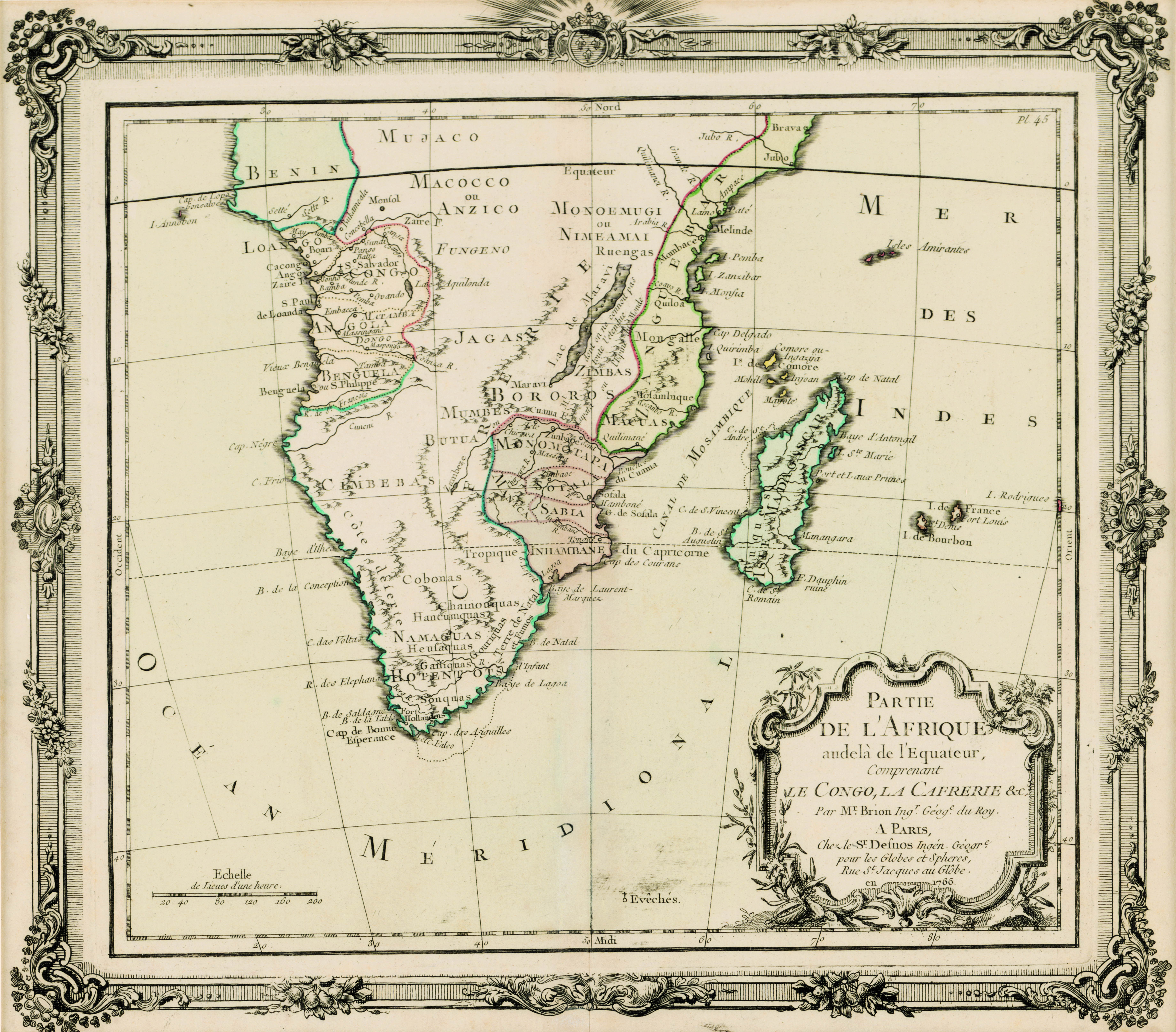
| dc.description.abstract | Coloured map.
Paris, chez le Sr. Desnos... 1766
"This map may originally have formed part of Brion de la Tour's "Atlas général..., issued in Paris in 1767", Johannesburg Pub. Lib.: Exhibition of decorative maps of Africa up to 1800, 1952, descriptive catalogue, p.137. | |
| dc.format.extent | 28 x 31cm | |
| dc.language.iso | fr | |
| dc.rights | This item is subject to copyright protection. Reproduction of the content, or any part of it, other than for research, academic or non-commercial use is prohibited without prior consent from the copyright holder. | |
| dc.source | Map from Hugh Solomon Collection, Africana. | |
| dc.subject | Africa -- Maps -- Early works to 1800 | en_ZA |
| dc.subject | Cartography -- Africa | en_ZA |
| dc.title | Partie de l'Afrique audelá de l'Equateur, Comprenant le Congo, la Cafrerie &c. | fr |
| dc.type | Map | |
| dc.rights.holder | Copyright Stellenbosch University | |