Browsing Images by Title
Now showing items 1831-1850 of 3717
-
-
-
-
-
-
-
-
Mamre, three early cottages at the top of Bergstraat
Photograph depicting three early cottages at the top of Bergstraat, Mamre. -
-
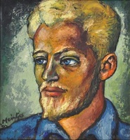
Man met baard
(1948) -
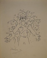
Man met voëls
(1952) -
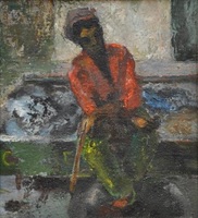
Man on truck
(1961) -
A man overboard
Depicts a ship [the East Indiaman Atlas] in rough seas with a man [Hugh Crocket] overboard amongst flotsam. -
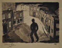
Man tussen geboue
(1954) -
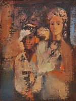
Man, vrou en kind
(1962) -
Map indicating migration of the Bafokeng and Chief Isang's rondavel, Mochude
Drawings of a map indicating migration of the Bafokeng and chief Isang's rondavel, Mochude. -
Map of Africa
Map. Scale not given. 4 inset views along base of map, on left, Cape Coast Castle, James Fort St. Helena, Fort of Good Hope; and on the right, Prospect of the Cape of Good Hope. -
A map of Africa
Coloured map. Line scale given. col.map 49x57cm. Inset: Table of the European possessions in Africa. Appears in: A general atlas of Thirty Six new and Correct Maps by Palairet and Others executed by Carington Bowles... 1769. -
Map of Africa
Coloured map. Scale not given. 4 inset views along base of map, on left, Cape Coast Castle, James Fort St. Helena, Fort of Good Hope; and on the right, Prospects of the Cape of Good Hope. This ed. has Moll's name removed ... -
Map of Africa
Coloured map. Scale not given. 4 inset views along base of map on left, Cape Coast Castle, James Fort St. Helena, Fort of Good Hope; and on the right, Prospect of the Cape of Good Hope.